I am a Fellow of the Higher Education Academy with substantial teaching experience as Course Coordinator, Tutor and Teaching Fellow for MSc programmes at UCL. In my teaching, I particularly like to combine a flipped classroom approach with active learning and real-world applications.

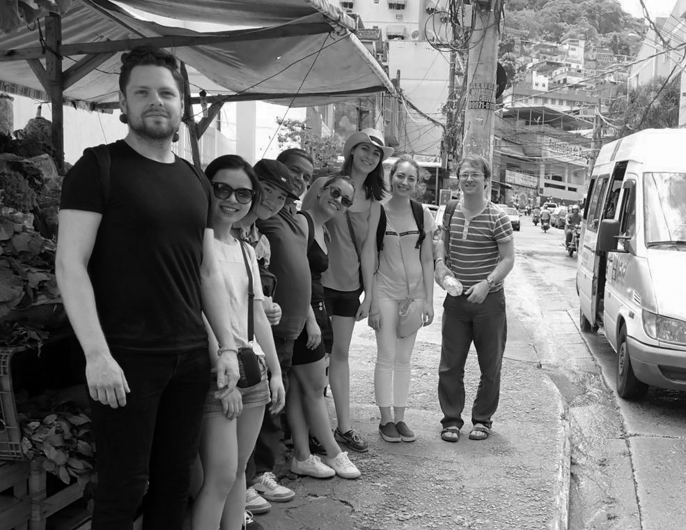
Student field-trip to the favela Rocinha in Rio de Janeiro, Brazil.
Teaching
Modules
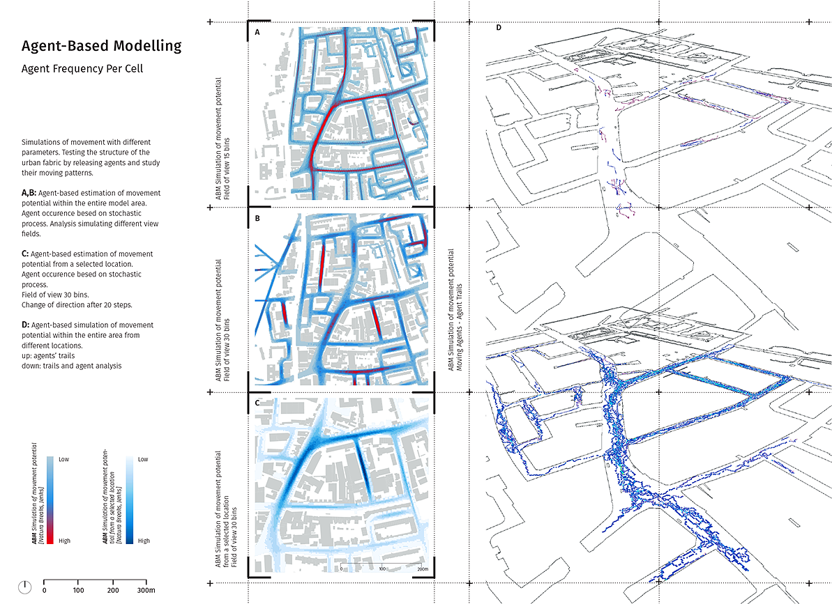
The Spatial Modelling and GIS skill module introduces students to the world of Geographic Information Systems (GIS) and methods of spatial modelling at the example of the opensource software QGIS and programming language R. GIS software in general and QGIS in particular are designed to capture, manage, analyse, and display all forms of geographically referenced information. It allows us to view, understand, question, interpret, and visualise our world in ways that reveal relationships, patterns, and trends in the form of maps, models and simulations. Branching into the realm of large data sets, students will learn how to work with, gather and manipulate geographically referenced information through GUI-based (QGIS) and programmatically-based (R) approaches. Students are asked in the context of a project-based application to work with georeferenced data, model spatial environments, perform network analytical methods and link results to different layers of environmental and physical information, unveiling hidden relationships and pattern.

Student submission: agent-based pedestrian movement simulation by Anna Kampani.
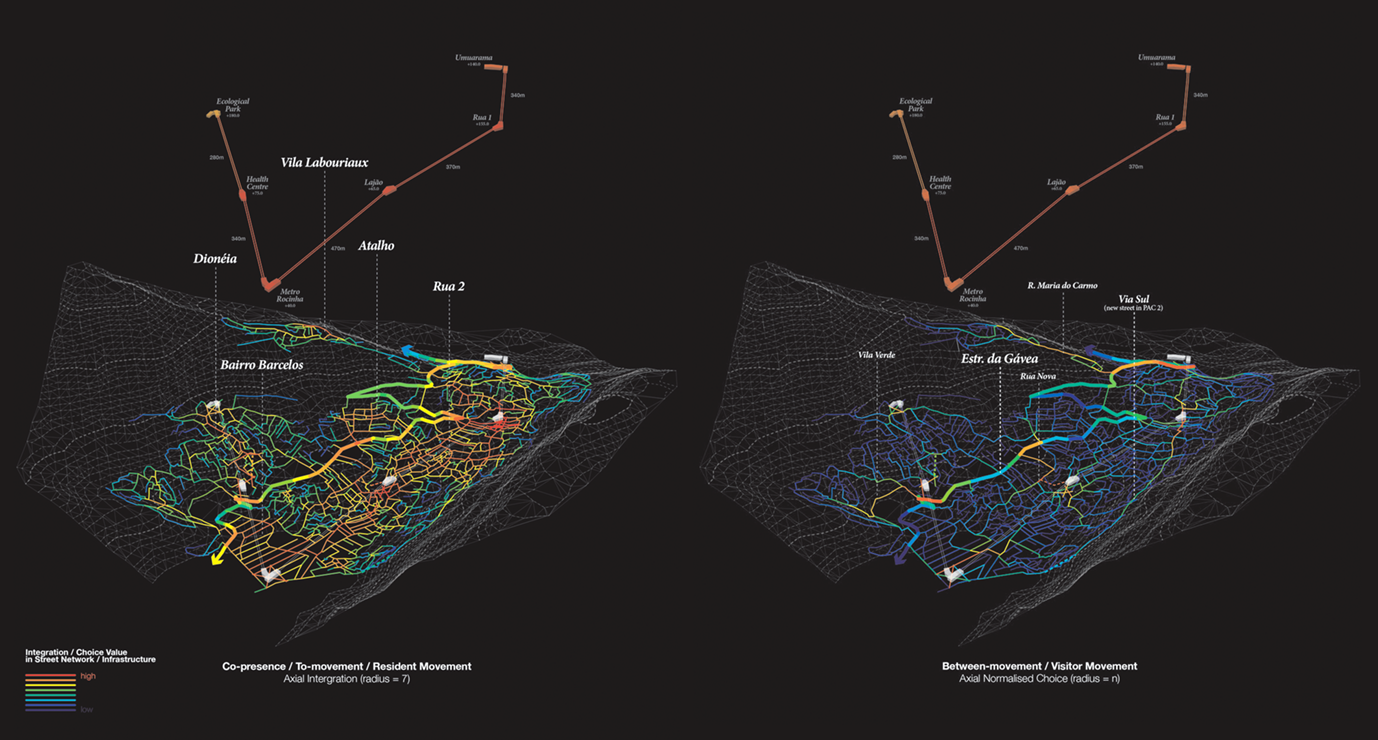
The E-Merging Design Research module (EDR) is a research/practice-based module in the Space Syntax: Architecture & Cities MSc at the Bartlett School of Architecture, UCL. It brings the measurable aspects of urban and architectural environments (evidence-based) to serve those aspects that are considered immeasurable, such as design, intuition, ethical position, social values, and place-making. The module develops responses to urban and social challenges, such as new and emergent forms of urbanisation, urban heritage and historic urban environments, sustainability, informal settlements, healthy environments, rapid urbanisation, safety, security, mobility and immigration. The students encounter a range of theories, technologies and methodologies for breaking down the barriers between evidence-led explorations and design-based approaches. The course combine expertise from architecture, urban design, social sciences, computer science and related areas. It draws from international collaborators through field trips abroad, workshops, seminars, publications and exhibitions of experimental design/research projects, artistically inspired and scientifically grounded work.

Student submission: spatial network analysis evaluating the impact of a new cable car infrastructure in Rocinha by Chun Wing Fok.